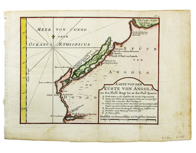
£75.00
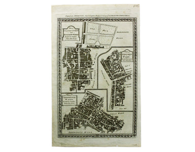
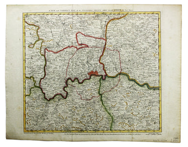
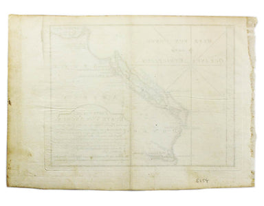
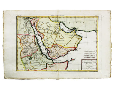
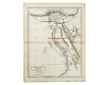
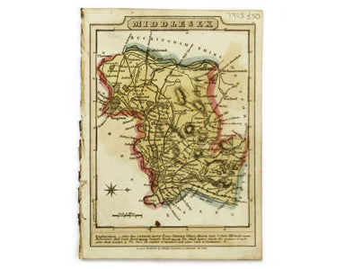
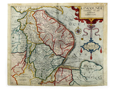
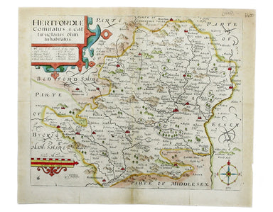
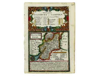
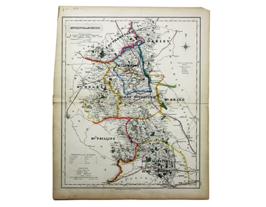
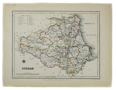
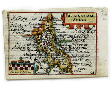
Royce’s Ward Plan of Coleman Street & Bassishaw
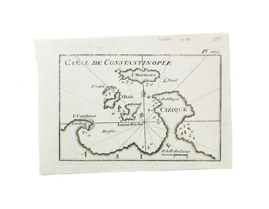
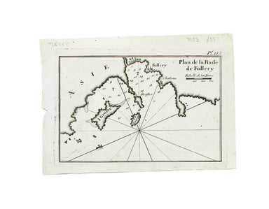
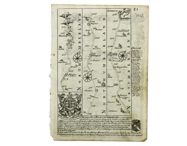
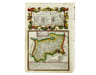
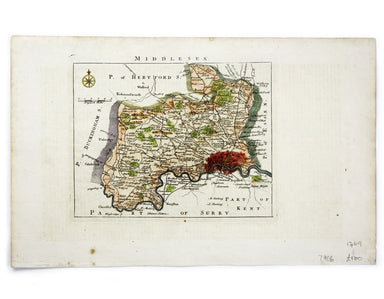
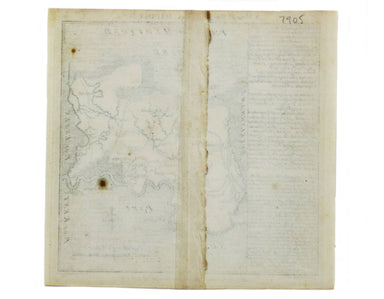
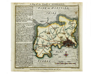
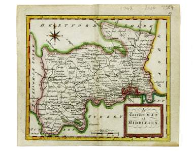
Plan of Coleman Street and Bassishaw Wards; Plan of Portsoken Ward; Plan of Cripplegate Ward Condition & Materials Copper engraving, 34 x 22 cm...
View full details