£200.00
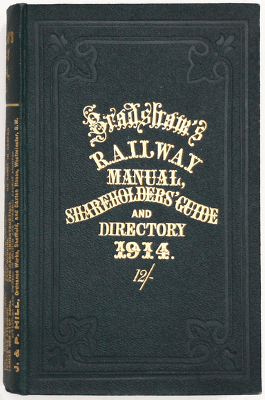
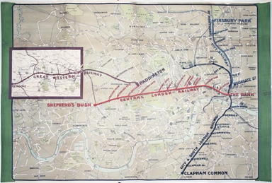
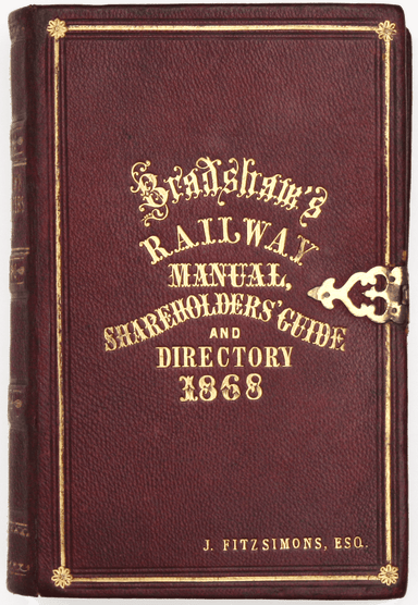
Bradshaw’s Railway Manual for 1914
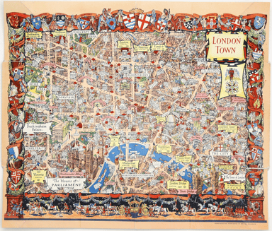
Bradshaw’s Railway Manual, Shareholder’s Guide and Official Directory, 1914; containing the History and Financial Position of every Railway Company...
View full details