

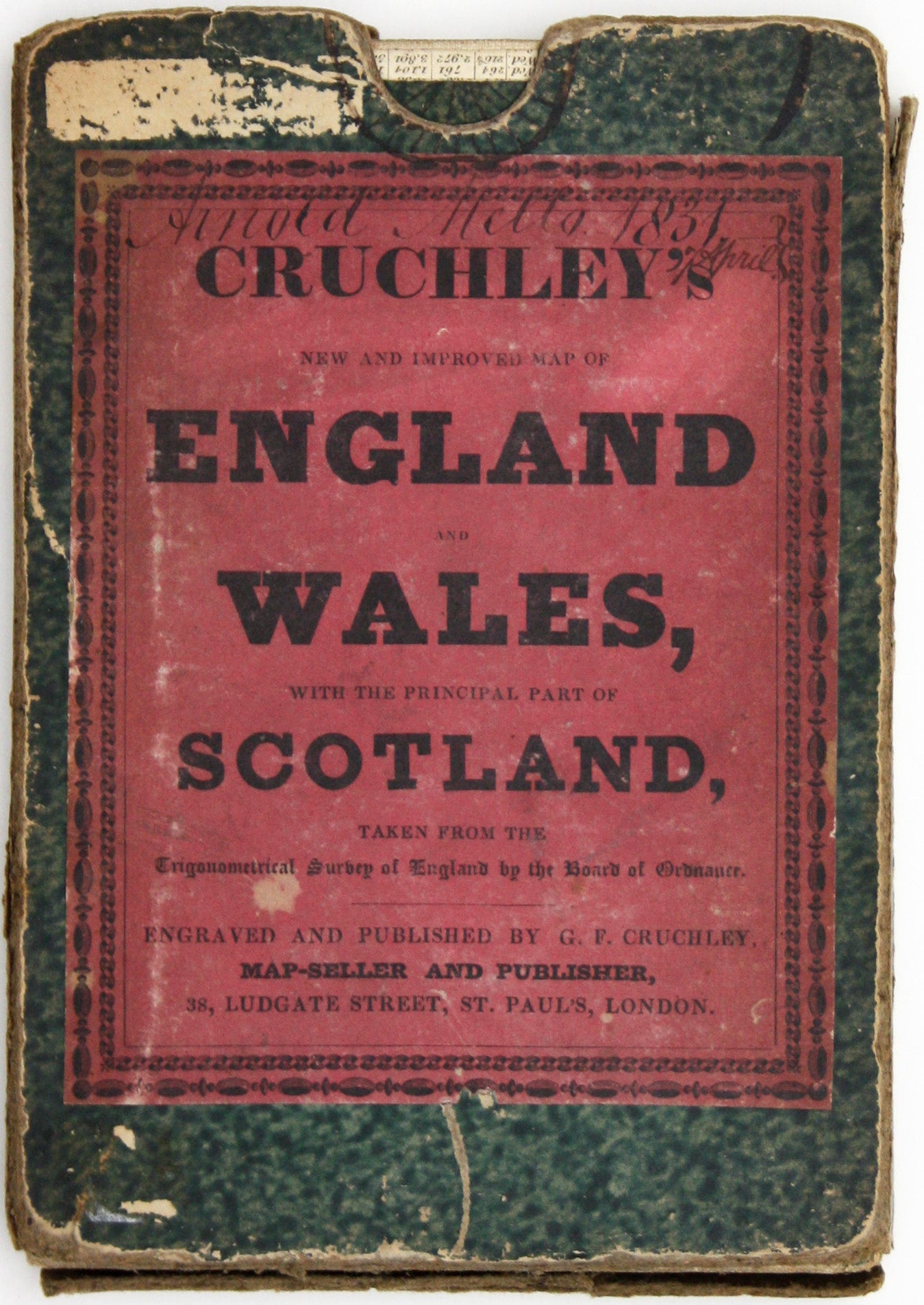
Cruchley’s Map of England & Wales, Annotated
SKU: 9461
Title:
Cruchley’s Map of England & Wales, Annotated
Date of publication:
Printed Measurement:
Colour:
Mapmaker:
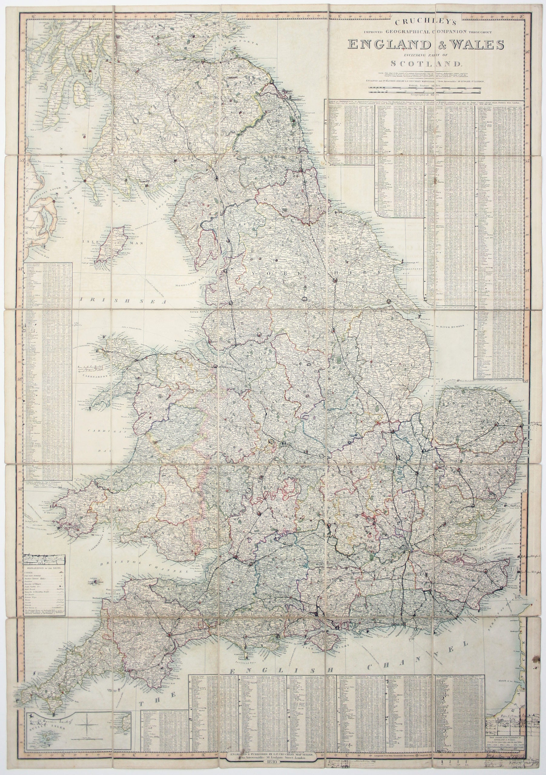
Cruchley’s Improved Geographical Companion throughout England & Wales including part of Scotland
In this map of England and Wales, we have an interesting record of how it was used by its owner. It’s been heavily annotated over time, and seems to have had a working life spanning at least forty years. Read more
The most conspicuous additions are the railways: ‘all since 1830’. Some of the statistical tables at the foot have been expanded and updated to include information from the 1841 census; there is a reference to Stephenson’s ‘iron tubular bridge’ across the Menai Strait, opened on 5 March 1850, and there is also a reference to ‘Smith Dorien’ as Lord Proprietor of the Isles of Scilly, a title he inherited from his uncle in 1872.
Condition & Materials
Engraved folding map, 98 x 68 cm, dissected into 25 panels and laid on linen, original hand colour, some wear to fold intersections, annotated in ink in an early hand, folding into worn slipcase with printed publisher’s label on the cover. Ownership signature of Arnold Mello, dated 1831, to verso of the map and to slipcase label. Read less