£750.00
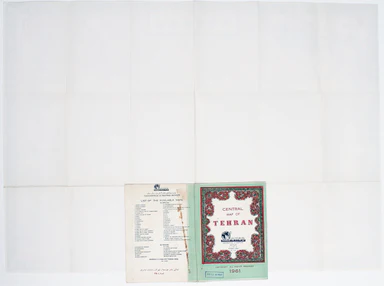
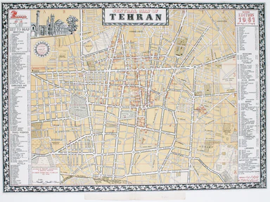
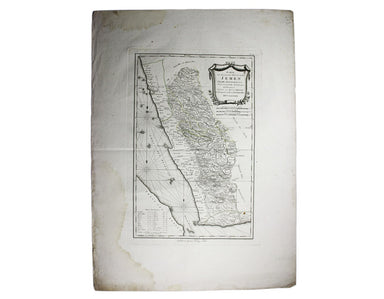
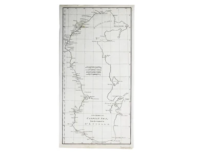
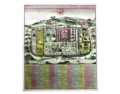
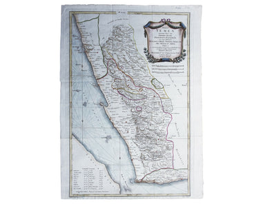
Sahab's Map of Tehran
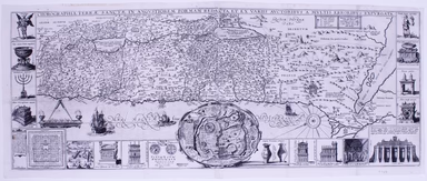
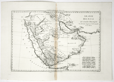
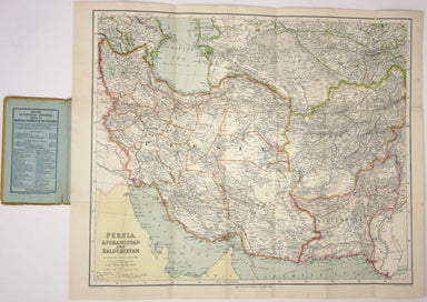
This map of Tehran features a legend in the borders listing 218 places of interest in the pre-Revolutionary city. The mapmaker’s own premises are i...
View full details