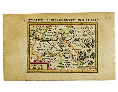
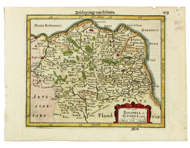
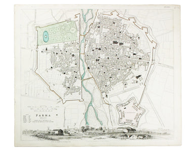
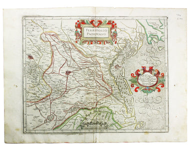
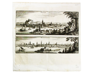
£75.00
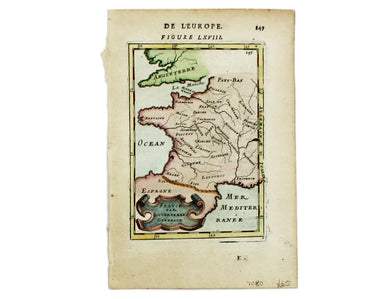
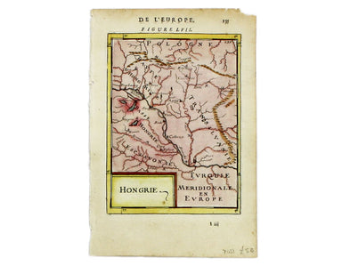
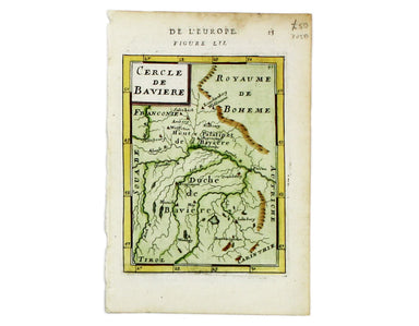
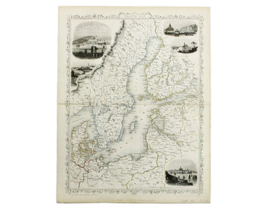
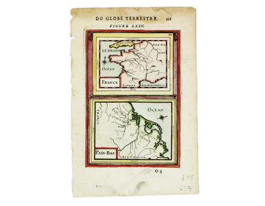
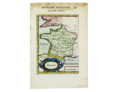
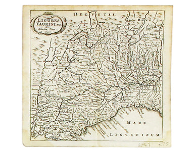
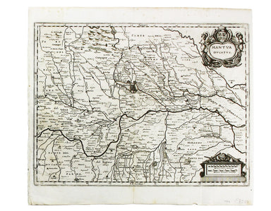
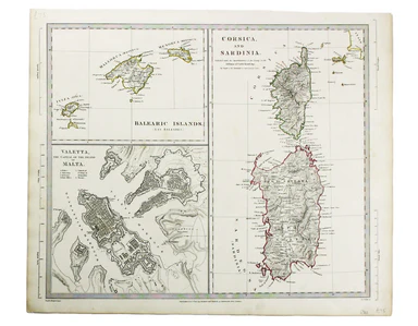
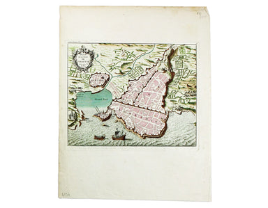
Mallet’s General Map of France
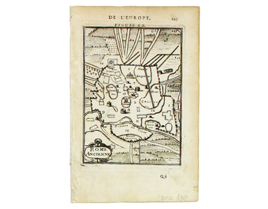
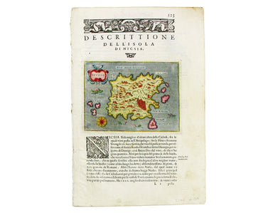
This map of France is from Mallet’s Description de l’Univers. Condition & Materials Copper engraving, 15 x 10.5 cm, recent hand-colour, French...
View full details