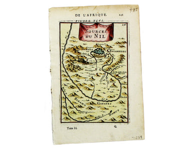
Mallet’s Sources of the Nile
This map of the sources of the Nile is from Mallet’s Description de l’Univers. Condition & Materials Copper engraving, 14.5 x 10.5 cm, recent ...
View full details

This map of the sources of the Nile is from Mallet’s Description de l’Univers. Condition & Materials Copper engraving, 14.5 x 10.5 cm, recent ...
View full details
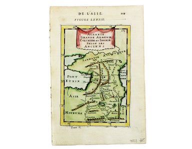
Albanie, Grand Armenie, Colchide et Iberie selon les anciens This map of the Ancient Caucasus is from Mallet’s Description de l’Univers. Condition ...
View full details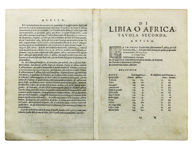
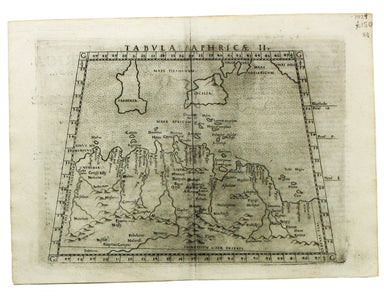
Tabula Aphricae II Ruscelli’s map of North Africa, following Gastaldi, was first issued in his edition of Ptolemy’s Geographia printed by Valgrisi ...
View full details
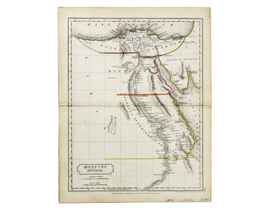
This map of ancient Egypt is from Butler's Atlas of Ancient Geography and was engraved by Sidney Hall. Condition & Materials Copper engraving,...
View full details
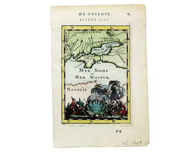
Condition & Materials Copper engraving, 14.5 x 10.5 cm, recent hand-colour, light waterstaining in upper margin, French text on verso, from Ma...
View full details
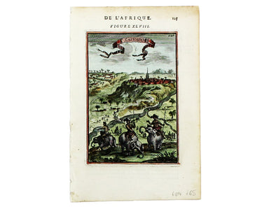
This map of São Salvador is from Mallet’s Description de l’Univers. São Salvador was once the capital of the kingdom of Congo, but as M’banza-Kongo...
View full details
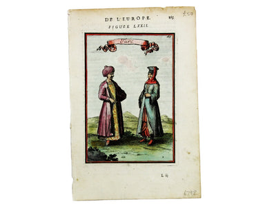
Condition & Materials Copper engraving, 15 x 10.5 cm, recent hand-colour, French text on verso, from Mallet’s Description de l’Univers.
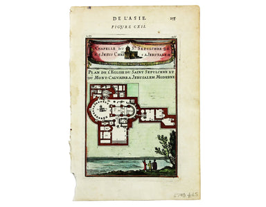
Chapelle du St Sepulchre de N.S. Jesus Christ à Jerusalem The Church of the Holy Sepulchre, Jerusalem, from Mallet’s Description de l’Univers. Cond...
View full details
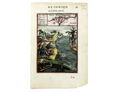
Du Nil et ses Embouchures et des Crocodiles This map of the Nile delta (with crocodiles) is from Mallet’s Description de l’Univers. Condition &...
View full details
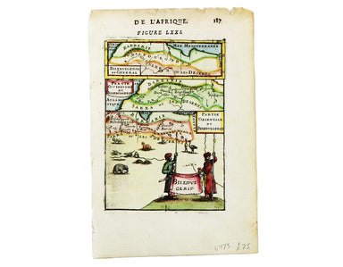
Biledulgerid en General This map of North Africa is from Mallet’s Description de l’Univers. Condition & Materials Copper engraving, 15 x 10.5 ...
View full details
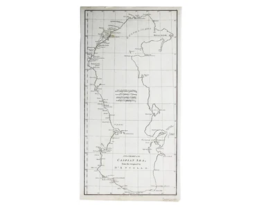
Condition & Materials Copper engraving, 52.5 x 26.5 cm; a chart of the Caspian Sea after Jean Baptiste Bourguignon d'Anville, black and white, ...
View full details
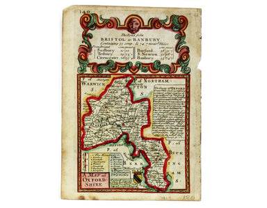
This map of Oxfordshire was engraved by Emanuel Bowen for John Owen’s Britannia Depicta, a pocket road book derived from Ogilby’s innovative atlas ...
View full details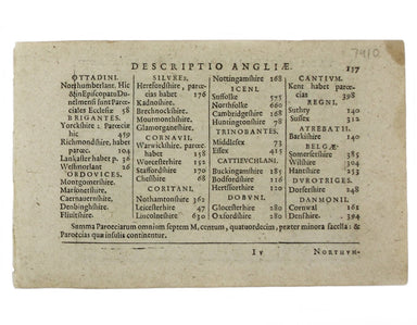
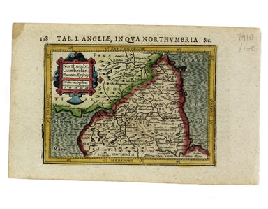
Northumbria, Cumberlandia et Dunelmensis Episcopatus This map of northern England is from the first edition of Tabularum geographicarum contractaru...
View full details
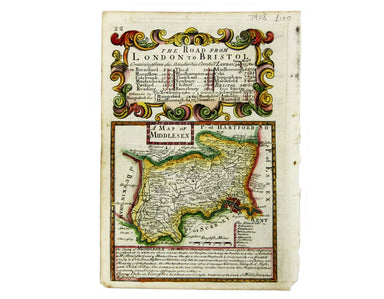
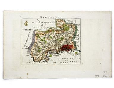
This map of Middlesex was engraved by Emanuel Bowen for John Owen’s Britannia Depicta, a pocket road book derived from Ogilby’s innovative atlas of...
View full details
This map of Middlesex was first published in 1746 to accompany Thomas Read’s English Traveller. The the plates were acquired by John Rocque and re-...
View full details
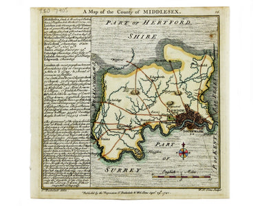
Condition & Materials Copper engraving, 15.5 x 15.5 cm, modern hand-colour, blank verso; a map of Middlesex engraved by Toms for Thomas Badesla...
View full details
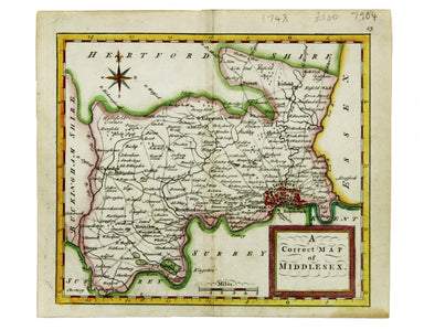
This map of Middlesex was published in Geographia Magnae Britanniae, or, Correct Maps of all the Counties in England, Scotland and Wales. It was pr...
View full details
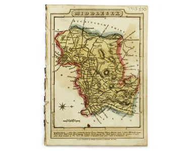
This map of Middlesex is from Wallis' Pocket Edition of the English Counties. James Wallis (fl. 1810-1825) was born in Southampton in 1784, the son...
View full details
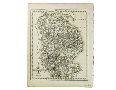
This characteristically clear and elegant map of Lincolnshire is by John Cary, one of the leading cartographic engravers, publishers and globe-make...
View full details
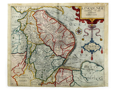
Lincolniae Comitatus ubi olim insederunt Coritani This map of Lincolnshire is from the second edition of Philemon Holland’s translation of Camden’s...
View full details
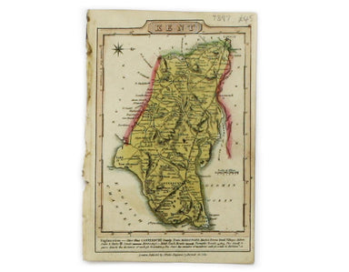
This map of Kent is from Wallis' Pocket Edition of the English Counties. James Wallis (fl. 1810-1825) was born in Southampton in 1784, the son of a...
View full details
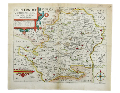
Hertfordiae Comitatus This map of Hertfordshire is from the second edition of Philemon Holland’s translation of Camden’s Britannia into English, th...
View full details
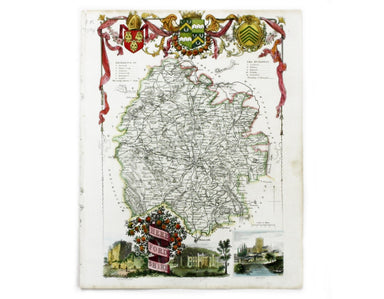
This map of Herefordshire is by Moule, a bookseller, writer on heraldry and publisher who commissioned what is generally considered to be the last ...
View full details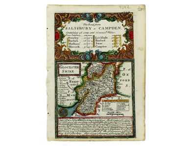
This map of Gloucestershire was engraved by Emanuel Bowen for John Owen’s Britannia Depicta, a pocket road book derived from Ogilby’s innovative at...
View full details
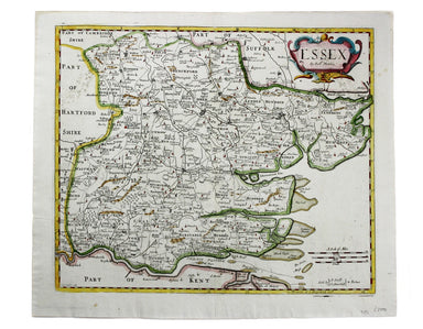
Condition & Materials Copper engraving, 36 x 42 cm, recent hand-colour, spotting top left, blank verso. A map of Essex engraved to accompany Gi...
View full details
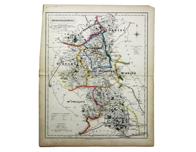
This map of Buckinghamshire was prepared for William Colling Hobson’s Fox-Hunting Atlas. It is overprinted with the names of the hunts and the plac...
View full details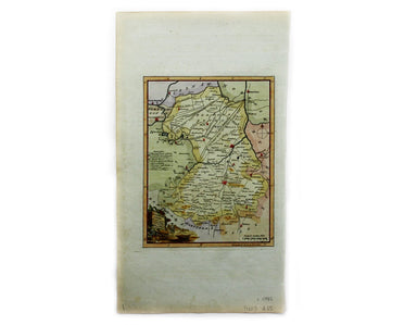
This map of Cambridgeshire was first issued in The London Magazine, which between 1747 and 1754 published a complete set of English county maps by ...
View full details
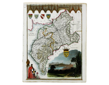
This map of Cumberland is by Moule, a bookseller, writer on heraldry and publisher who commissioned what is generally considered to be the last rea...
View full details
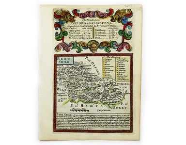
This map of Berskhire was engraved by Emanuel Bowen for John Owen’s Britannia Depicta, a pocket road book derived from Ogilby’s innovative atlas of...
View full details
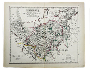
This map of Cheshire wasprepared for William Colling Hobson’s Fox-Hunting Atlas. It is overprinted with the names of the hunts and the places of th...
View full details
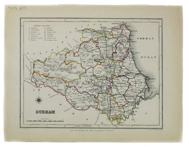
This map of County Durham was engraved by J & C Walker after Creighton for Lewis’ Topographical Dictionary. Condition & Materials Steel eng...
View full details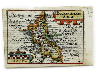
This map of Buckinghamshire is from the so-called miniature Speed. This miniature atlas used maps by van den Keere to illustrate a pocket edition o...
View full details
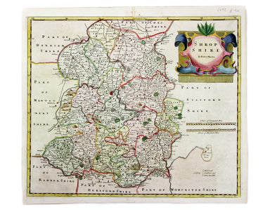
This map of Shropshire was engraved to accompany Gibson’s edition of Camden’s Britannia, first published in 1695. Condition & Materials Copper ...
View full details
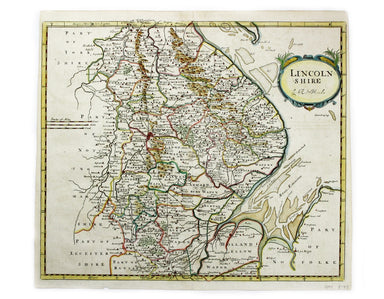
This map of Lincolnshire was engraved to accompany Gibson’s edition of Camden’s Britannia, first published in 1695. Condition & Materials Coppe...
View full details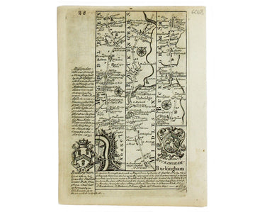
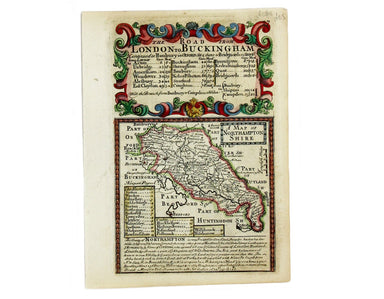
This map of Northamptonshire was engraved by Emanuel Bowen for John Owen’s Britannia Depicta, a pocket road book derived from Ogilby’s innovative a...
View full details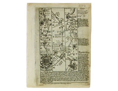
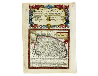
This map of Norfolk was engraved by Emanuel Bowen for John Owen’s Britannia Depicta, a pocket road book derived from Ogilby’s innovative atlas of ...
View full details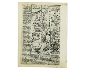
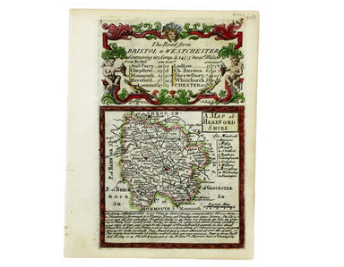
This map of Herefordshire was engraved by Emanuel Bowen for John Owen’s Britannia Depicta, a pocket road book derived from Ogilby’s innovative atla...
View full details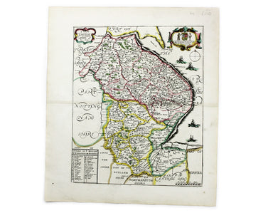
Blome published the first new series of county maps since Speed. In the straightened financial environment of post-Restoration London he had to rep...
View full details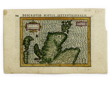
This map of Northern Scotland is from the first edition of Tabularum geographicarum contractarum libri, a geographical work which is normally catal...
View full details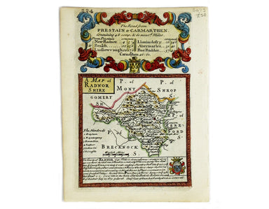
This map of Radnorshire was engraved by Emanuel Bowen for John Owen’s “Britannia Depicta”, a pocket road book derived from Ogilby’s innovative atla...
View full details
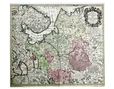
Mappae Imperii Muscovitici pars Septentrionalis This detailed early 18th century map of Muscovy follows the cartography of De l’Isle, which include...
View full details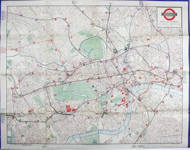
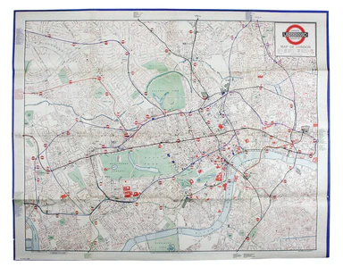
The first edition of this map was printed in 1932 but the introduction of Beck's diagram in 1933 did not obviate the need for geographically accura...
View full details
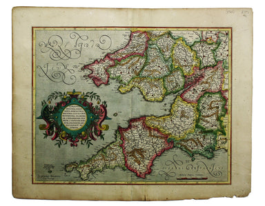
This is the southwestern sheet of Mercator’s five regional maps of England and Wales; Janssonius revised the decorative elements in the 1630s, but ...
View full details
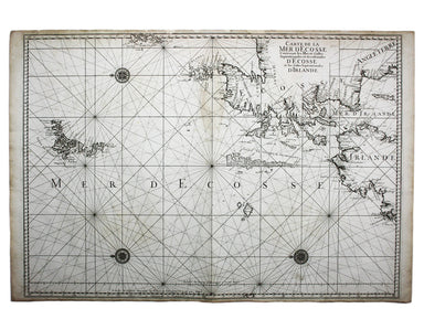
Carte de la Mer d’Ecosse, Contenant les Isles et Costes Septentrionales et Occidentales d’Ecosse et les Costes Septentrionales d’Irlande This detai...
View full details
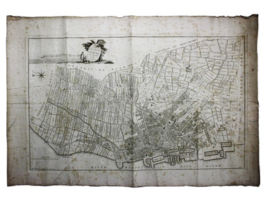
A Plan of the Town and Township of Liverpool, from an actual survey taken in the year 1785 by C. Eyes This map of Liverpool was surveyed and publis...
View full details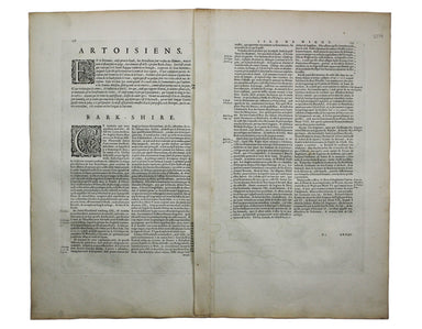
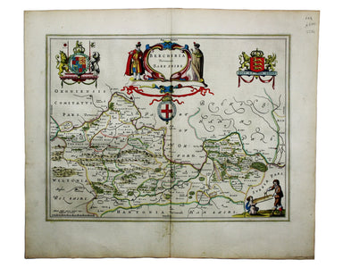
Blaeu and the rival Golden Age Dutch cartographic publishing house of Janssonius raced to bring out atlases of the British Isles in the 1630s and e...
View full details
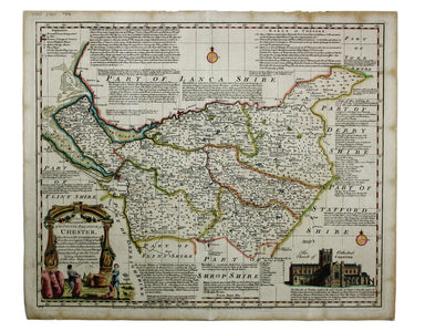
An Accurate Map of the County Palatine of Chester […] Condition & Materials Copper engraving, 41.5 x 50.5 cm, map of Cheshire with original han...
View full details
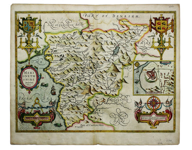
This map of Merionethshire includes an inset town-plan of Harlech. John Speed (1552-1629) is unquestionably the most significant English map-maker ...
View full details
