£5,000.00
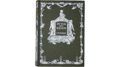
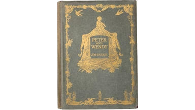
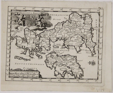
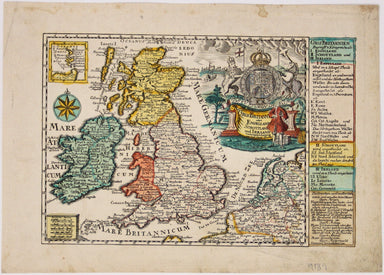
Peter & Wendy: First Edition in Dustwrapper
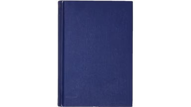
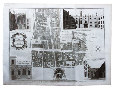
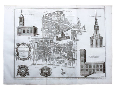
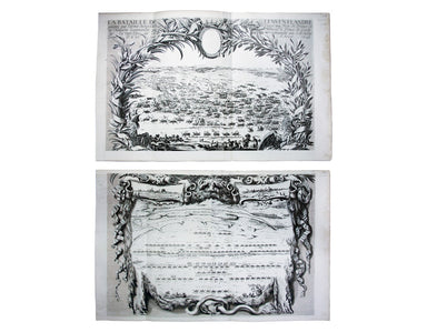
Condition & Materials 8vo. First edition. Publisher’s cloth, with dustwrapper. The colonial issue, with unpriced dustwrapper and white blockin...
View full details