£325.00
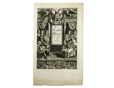
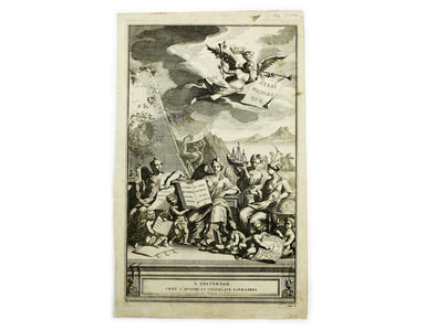
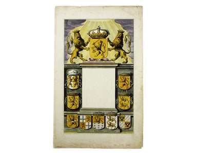
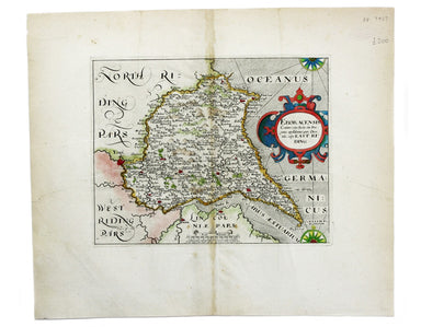
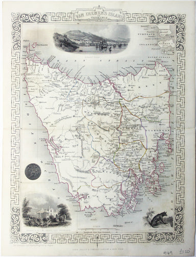
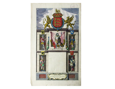
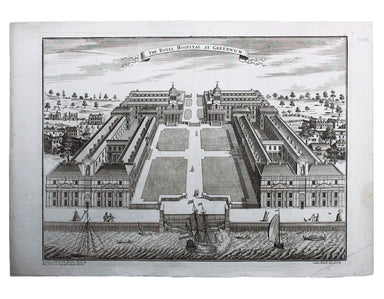
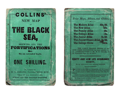
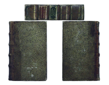
Title Page for Pitt’s English Atlas, vol. II
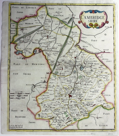
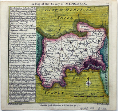
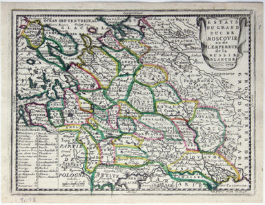
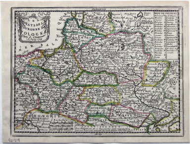
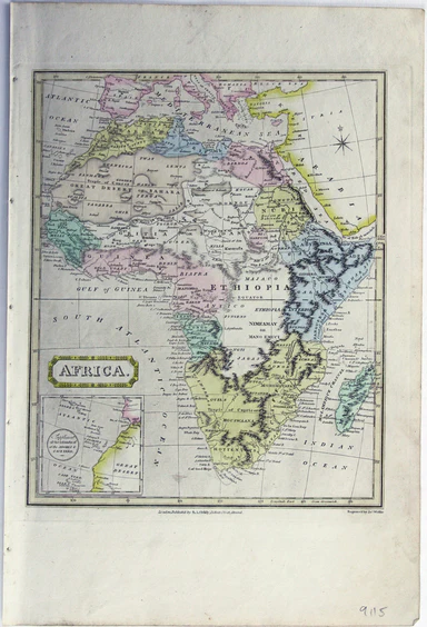
[Title-page] The English Atlas, Volume II Pitt worked in partnership with Janssonius’ heir Joannes van Waesbergen, and this title-page for the Germ...
View full details