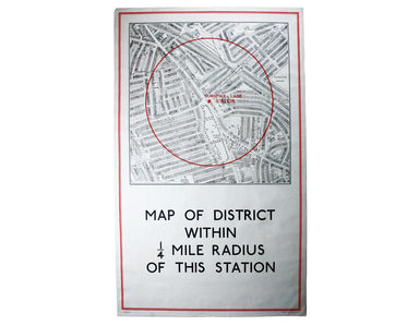
Quarter Mile Radius Map of Turnpike Lane Station
District within ¼ mile radius [of] Turnpike Lane Stanford’s was a firm of map publishers as well as map retailers until after the Second World War,...
View full details

District within ¼ mile radius [of] Turnpike Lane Stanford’s was a firm of map publishers as well as map retailers until after the Second World War,...
View full details
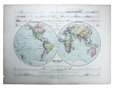
This double hemisphere world map was published in the second trade edition of Stanford’s London Atlas. Edward Stanford (senior) acquired Arrowmsith...
View full details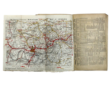
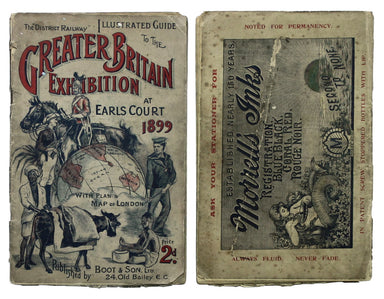
The District Railway Guide to the Greater Britain Exhibition, the Gigantic Wheel, &c, at Earls Court The Greater Britain Exhibition was one of ...
View full details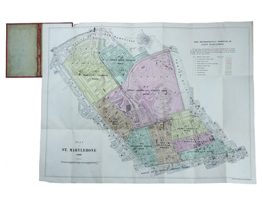
Plan of St Marylebone 1900 Detailed map of the Metropolitan Borough of St Marylebone as created by the London Government Act 1899, coloured to show...
View full details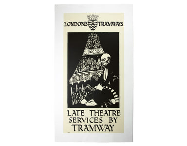
Late Theatre Services by Tramway is one of at least three posters designed by Haythorne for LCC Trams, the others being ‘Dull days made bright in t...
View full details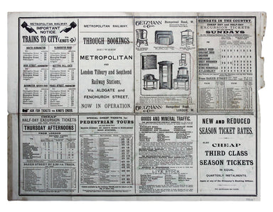
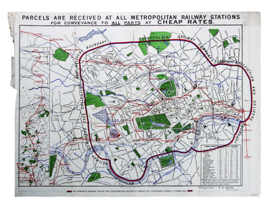
Map with lines showing the boundary for free collection and delivery of parcels and passengers’ luggage The main map shows central London, includin...
View full details
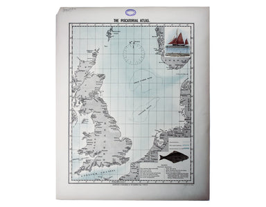
Do you prefer your flatfish with eyes to the right, or to the left? This map was published in the ‘Piscatorial Atlas of the North Sea, English and ...
View full details
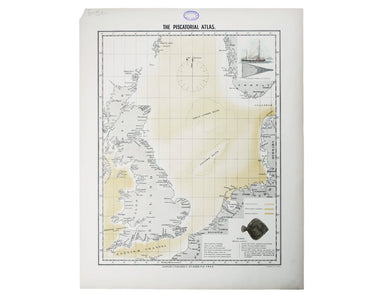
The fish with a face only a mother could love This map was published in the ‘Piscatorial Atlas of the North Sea, English and George’s Channels’, a ...
View full details
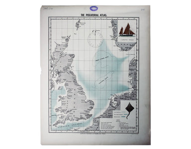
Meunière your skate wings, or get someone else to do it for you This map was published in the ‘Piscatorial Atlas of the North Sea, English and Geor...
View full details
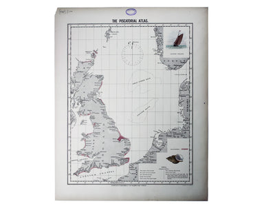
Why is it proverbially assumed to be very easy to run a whelk stall? They look like hard work to me This map was published in the ‘Piscatorial Atla...
View full details
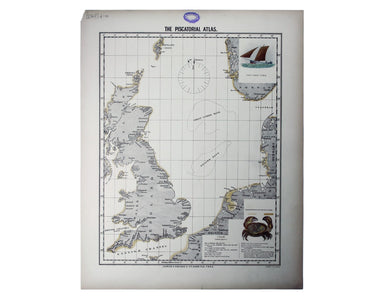
For a rainy day supper, put crab in your macaroni cheese. Trust me, you’ll love it This map was published in the ‘Piscatorial Atlas of the North Se...
View full details
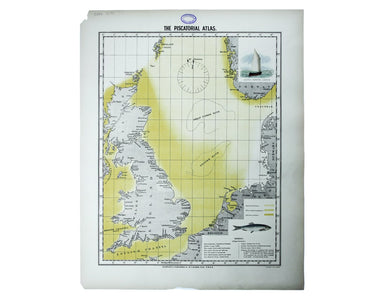
They’re bonnie fish and halesome farin’ This map was published in the ‘Piscatorial Atlas of the North Sea, English and George’s Channels’, a series...
View full details
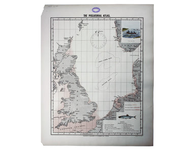
Try Scotch Woodock, per The Ritz London Book of Afternoon Tea. For a pared-down version, simply spread hot buttered toast with Gentleman’s Relish a...
View full details
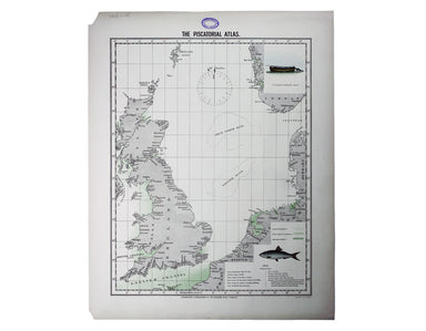
Waiter, bring me shad roe... This map was published in the ‘Piscatorial Atlas of the North Sea, English and George’s Channels’, a series of 50 lavi...
View full details
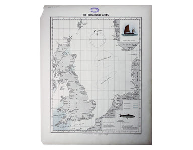
Pilchards are either sardines, herring, or neither. I think it depends where you (and they) are from. This map was published in the ‘Piscatorial At...
View full details
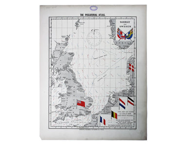
The Piscatorial Atlas was the product of a decade or more of reports and correspondence with British fishermen This map was published in the ‘Pisca...
View full details
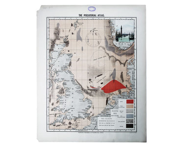
This map was published in the ‘Piscatorial Atlas of the North Sea, English and George’s Channels’, a series of 50 lavishly chromolithographed chart...
View full details
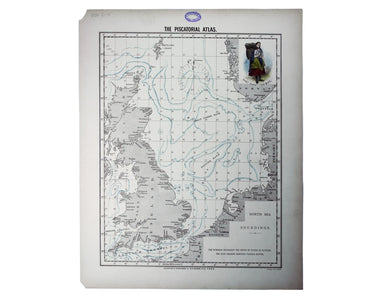
See the east coast Fishwife with her creel This map was published in the ‘Piscatorial Atlas of the North Sea, English and George’s Channels’, a ser...
View full details
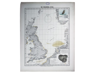
O Oysters, come and walk with us! This map was published in the ‘Piscatorial Atlas of the North Sea, English and George’s Channels’, a series of 50...
View full details
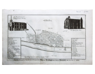
London Restored or Sir John Evelyn’s Plan for Rebuilding the Antient Metropolis after the Fire in 1666 Evelyn, Wren and Hooke were among the archit...
View full details
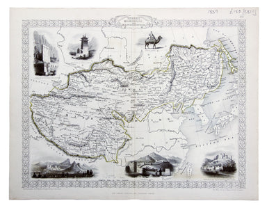
Thibet, Mongolia, and Mandchouria This map was engraved by John Rapkin for the ‘Illustrated Atlas’; with vignettes including Leh in Ladakh, a stret...
View full details
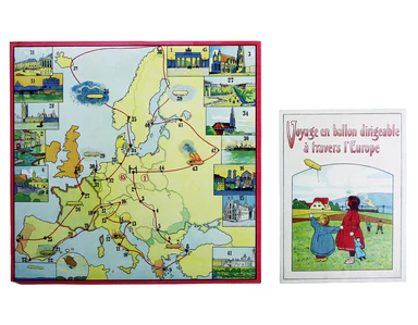
Voyage en ballon dirigeable a travers l’Europe No rule sheet, but fairly self explanatory: the board is a simplified map of Europe with vignettes o...
View full details
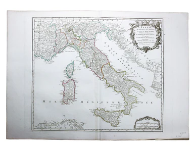
L’Italie qui comprend les Etats de Piémont, les Duchés de Milan, de Parme, de Modene, de Mantoue etc., les Républiques de Genes, de Venise, de Luqu...
View full details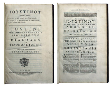
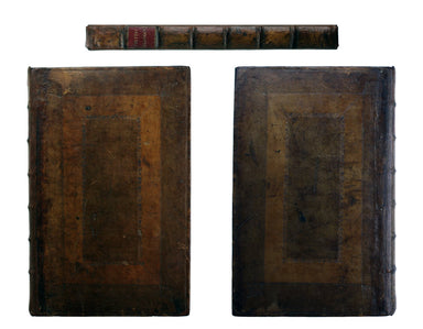
Apologiae Duae et Diologus cum Tryphone Judeo. Cum notis & emandationibus Styani Thirlbii. Londini [London]: Impensis Richardi Sare [...] 1722....
View full details
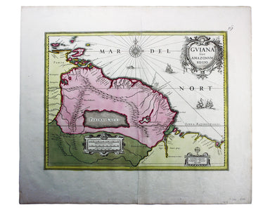
This is a late issue of Blaeu’s map of Guiana, with full-body colour typical of the later seventeenth-century. Seventeenth and eighteenth century m...
View full details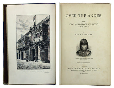
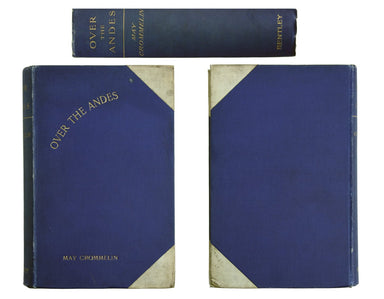
A member of a relatively impecunious Franco-Irish gentry family, Crommelin travelled widely and supported herself by writing travel accounts and 42...
View full details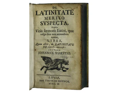
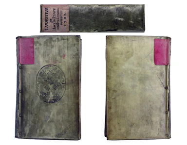
Vorst, Johannes: De Latinitate merito suspecta, deque vitiis sermonis Latini, quae vulgo fere non animadvertuntur, liber, quem alter, De Latinitate...
View full details![Freind’s Medical Works [Latin edition]](http://bryarsandbryars.co.uk/cdn/shop/products/7688i_384x299.jpg?v=1628609613)
![Freind’s Medical Works [Latin edition]](http://bryarsandbryars.co.uk/cdn/shop/products/7688_384x299.jpg?v=1628609613)
Freind, John: Opera omnia medica. Editio altera, Londinensi multo correctior et accuratior. Parisiis [Paris], apud Guillelmum Cavelier […] 1735 Rep...
View full details
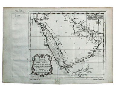
Carte de la Coste d’Arabie, Mer Rouge, et Golfe de Perse. A map of the Arabian peninsula. Jacques Nicolas Bellin the elder (1703-1772) was first ch...
View full details
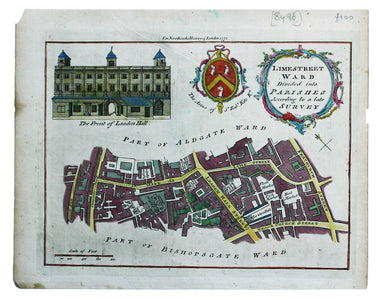
Limestreet Ward divided into Parishes according to a late Survey Possibly engraved by Thomas Bowen and first published in the London Magazine, this...
View full details
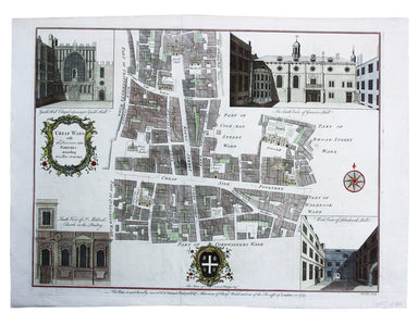
Cheap Ward with its Divisions into Parishes according to a New Survey This ward plan of Cheap was published in the greatly expanded second edition ...
View full details
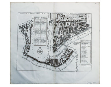
The Parish of St Johns Wapping; The Parish of St. Paul Shadwell This detailed ward plan of Wapping and Shadwell includes Execution Dock, where sent...
View full details
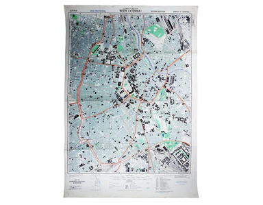
Town Plan of Wien (Vienna) – Second Edition –- Sheet 5 (Central) The Prater Park with its famous giant wheel is a fraction to the east of the city ...
View full details
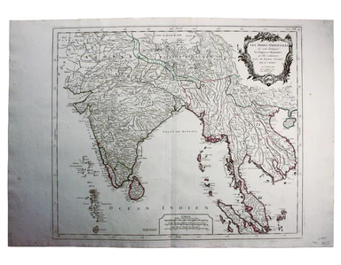
Les Indes Orientales This is Santini’s edition of Robert de Vaugondy’s map of the Indian subcontinent and mainland southeast Asia. Venetian map-mak...
View full details
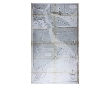
Burma – Gulf of Mataban – Rangoon River and Approaches This chart covers the mouth of the river between Rangoon (Yangon) and the sea. It shows vill...
View full details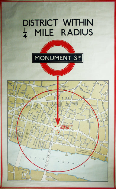
District within ¼ mile radius [of] Monument Stanford’s was a firm of map publishers as well as map retailers until after the Second World War, with...
View full details
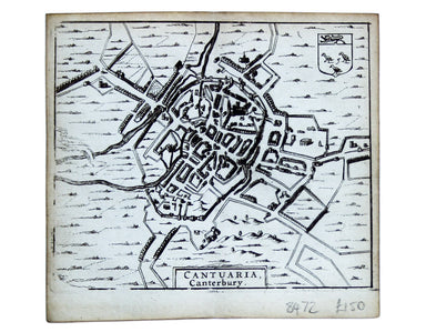
This map of Canterbury is from Hermannides' Magna Britannia. Nearly all of the plans are based on the small inset plans shown on John Speed's count...
View full details
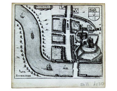
This map of Rochester is from Hermannides' Magna Britannia. Nearly all of the plans are based on the small inset plans shown on John Speed's county...
View full details
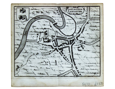
This map of Lancaster is from Hermannides' Magna Britannia. Nearly all of the plans are based on the small inset plans shown on John Speed's county...
View full details
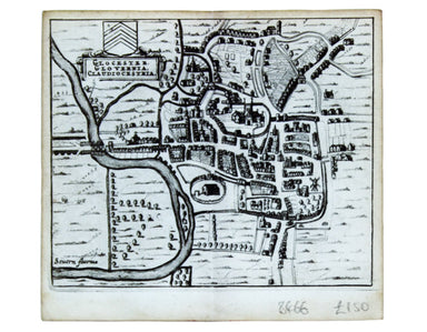
This map of Gloucester is from Hermannides' Magna Britannia. Nearly all of the plans are based on the small inset plans shown on John Speed's count...
View full details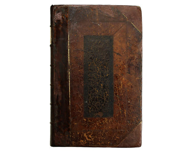
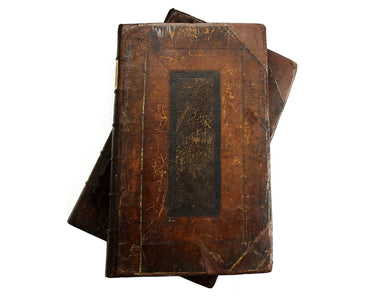
Anthony Wood, who sometimes chose to style himself “à Wood”, is described as “a very strong lusty man, of uncouth manners and appearance ... not av...
View full details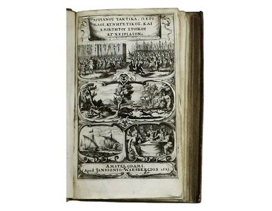
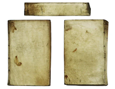
Arrian: [Greek title: Arrianou techne taktike, ektaxis kat Alanon... ] Ars Tactica, Acies Contra Alanos, Periplus Maris Erythraei, Liber De Venatio...
View full details
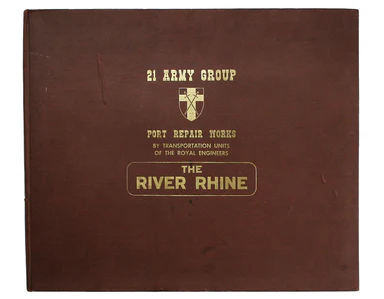
The first part of this work details the construction of semi-permanent bridges at Arnhem, Xanten, Rees and Spyck. The second part covers the equall...
View full details
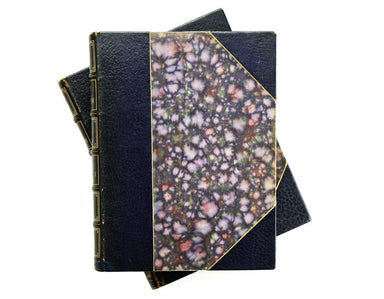
The text of this comprehensively illustrated edition follows the sixth edition (1811) revised by Boswell’s son. It is accompanied by the notes of v...
View full details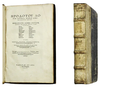
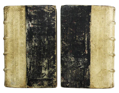
Herodotus and Thucydides: [Greek title] Libri Novum… Georgii Gemisti, qui et Pletho de iis quae post pugnam ad Mantineam gesta sunt libri II. […] B...
View full details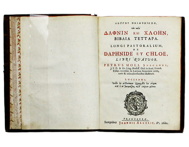
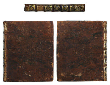
Longus: [Greek title: Longou Poimenikon, ton kata Daphnin kai Chloen, biblia tettara] Daphnide et Chloe, Libri Quatuor. Petrus Moll Snecanus J. V. ...
View full details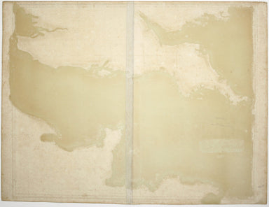
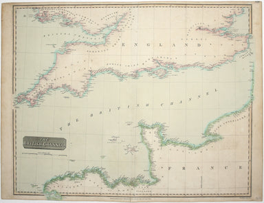
John Thomson's maps, like this one of the Channel, are characteristic of the Edinburgh school of cartography. It flourished at the beginning of the...
View full details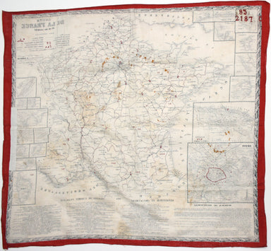
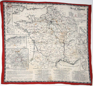
This educational handkerchief (why not?) is in the same format as the series of thirteen 'mouchoirs militaire d'instructions' patented by the comma...
View full details
